Our team of environmental permitting and inspection experts has extensive experience partnering with midstream operators to navigate the rapidly evolving and complex regulations facing the oil & gas industry.
Midstream Oil & Gas Environmental Services
Environmental Compliance Inspection:
Documenting compliance with required environmental permits
Coordination of field inspections and agency visits
Completing daily and weekly environmental compliance reports
Understanding all permitted conditions and reporting that all procedures and policies are implemented accordingly
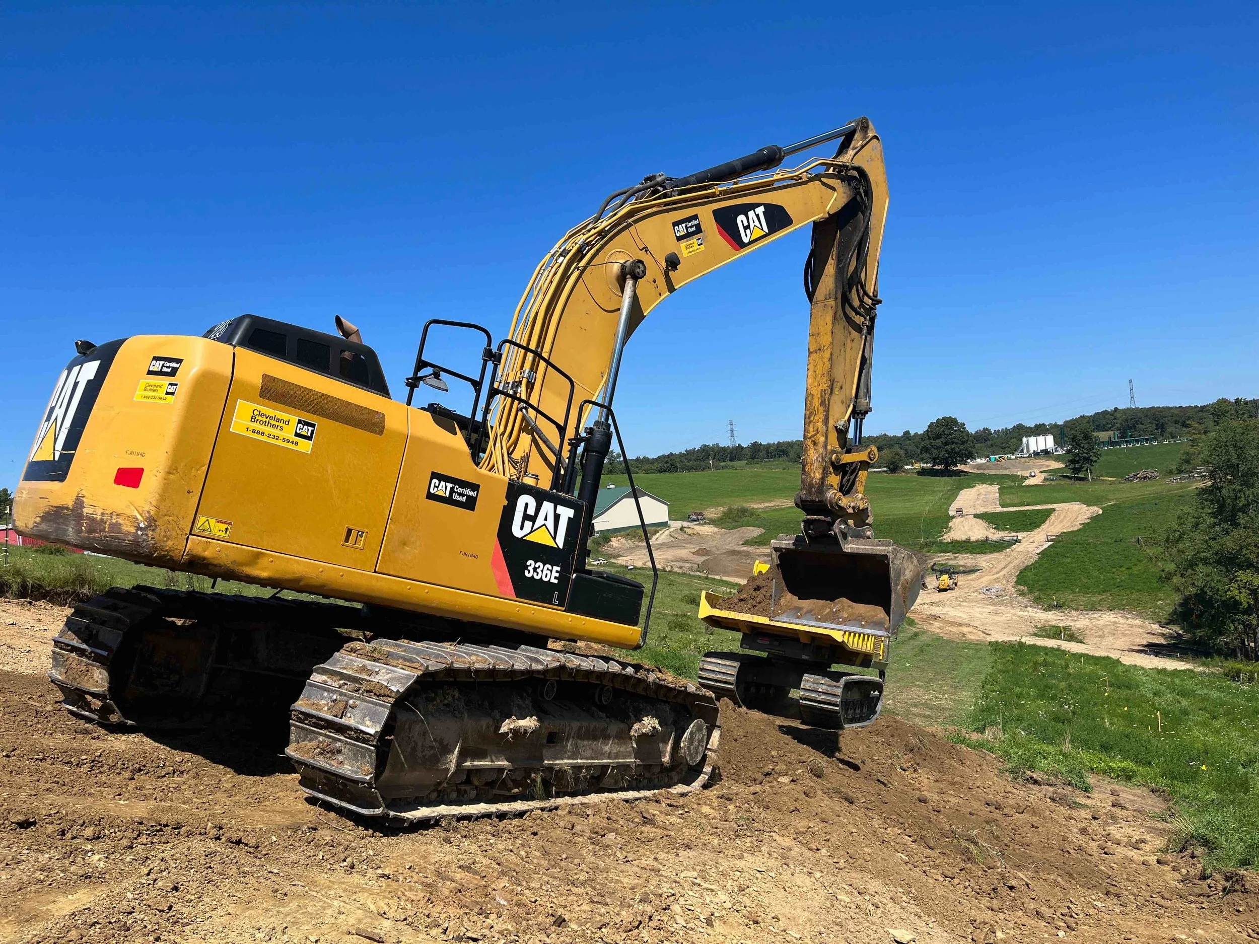
Completing the necessary inspections to ensure compliance with Storm Water Pollution Prevention Plans (SWPPP) and National Pollutant Discharge Elimination System (NPDES) permit
Providing professional advice and guidance during environmental resource crossings
Coordinating and submitting variance request as needed to the appropriate agencies
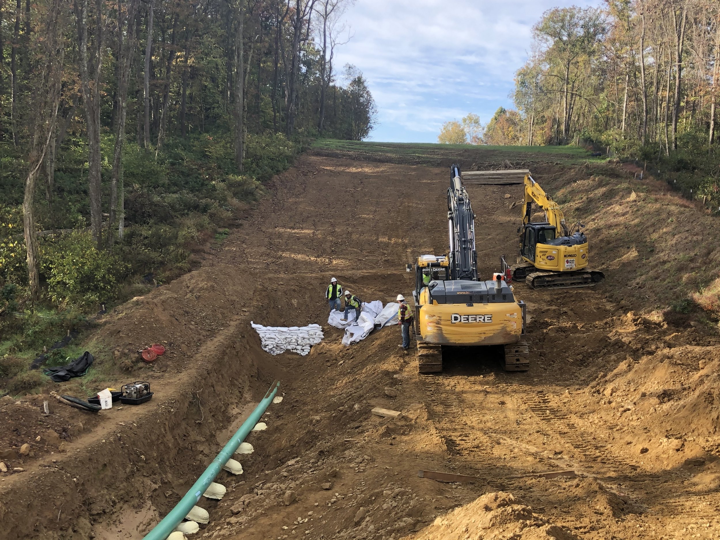
Working with contractors to ensure BMPs are installed in accordance with the approved erosion and sediment control plans
Providing solutions and corrective actions where needed to ensure projects remain environmentally compliant
Providing pre and post-construction inspections, photo logs and progress reports
Erosion and Sediment Control Plan Design:
Erosion and sediment control plans will contain all pertinent regulations found in the Pennsylvania Code, Title 25. Environmental Protection, Chapter 102: Erosion and Sediment Control
Erosion and sediment control plans will include the following:
Topographic features
Soils maps and information
Location of waterways receiving site runoff
Description of the earth disturbance activities
Sequence for installation of the erosion controls
Erosion control device maintenance program
Procedures for recycling and disposing of materials.
Wetland Delineation and Stream Mapping:
Pennsylvania Natural Diversity Inventory (PNDI) screening for potential threatened or endangered species
Complete desktop reviews of project prior to conducting onsite field work
Collect data and delineate wetland boundaries using the U.S. Army Corps of Engineers (USACE) wetland delineation manual criteria
Stream mapping and data collection using bed and bank channel features as defined in PA code title 25 Chapter 105 for watercourses
Photo collection and creation of comprehensive photo logs of all resources
All data will be collected using a sub-meter accuracy Trimble GPS unit
All environmental resources will be mapped
Creation of aquatic resource delineation report. Report includes:
Data forms collected
Photographs
Produced mapping
Aquatic resource delineation report meets all criteria to be used in permitting applications
General Environmental Consultation:
Project-specific environmental compliance status and updates
Review project and provide a general state of compliance
Develop action items and work plan aimed to return project to complaint state
Permitting review
Review proposed projects and offer guidance on permitting needs
Chapter 102
Chapter 105
Cost
Timeframe
Other options
Project routing
Aide in project routing to minimize environmental impacts
Environmental Permitting:
National Pollutant Discharge Elimination System (NPDES) Permits
Erosion and Sediment Control General Permits (ESCGP)
General and Joint Permit Applications for Natural Resource Encroachments
USACE Nationwide Permits and 401 Water Quality Certifications