Our experienced surveyors provide property & boundary surveys, topographic surveys, and location surveys for construction and commercial development projects.
KERAMIDA's Land Surveying Services:
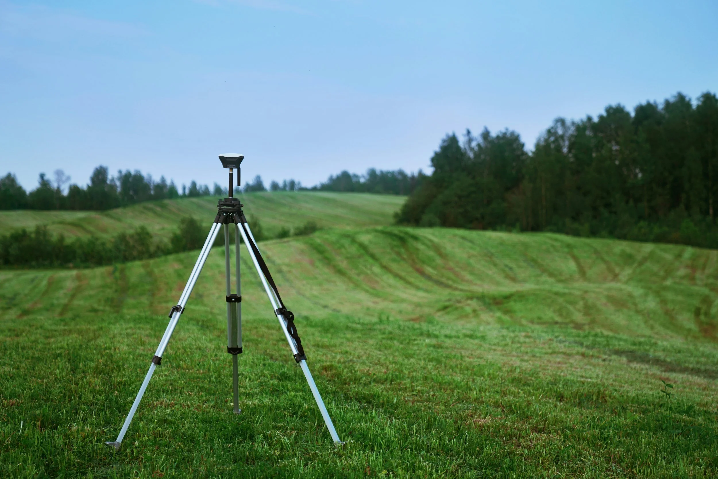
The surveying technicians at KERAMIDA use state-of-the-art equipment to perform topographic, location, and boundary surveys for our clients. The data collected with this equipment is downloaded into AutoCAD Civil 3D software to prepare complete base mapping, as well as boundary and right-of-way plats.
Our surveying services include:
Topographic Surveys
Property/Boundary Research
Property Boundary Surveys
ALTA/NSPS Title Surveys
Construction Stakeout
As-Built Surveys
Expert Witness Services
Existing Building Location Survey (plot plan)
These various types of surveys are used to develop any type of permitting plan, including environmental, highway occupancy, or railroad crossings.
By using the latest technology in data collection and processing into AutoCAD Civil 3D format, our base mapping can be used for site grading, highway plans and profiles, as well as any type of civil engineering design.
Examples of recently completed surveys:
Location survey of existing features and utilities for a confidential Utility Company. This base mapping will be combined with contours derived from LiDAR and will be used for all permitting needed for the installation of relocated natural gas pipelines within the city streets.
A boundary location survey for the preparation of right-of-way exhibits, which will be attached to agreements used by a major Utility Company for land rights acquisition across privately owned land where natural gas pipelines will be installed.
Related Services:
KERAMIDA is an EHS consulting and engineering firm specializing in construction EHS management services for developers, contractors, A&E firms, and property management companies. Our team has over 30 years of experience providing environmental and safety oversight in the construction of buildings, highways, pipelines, and solar development projects.
Related Industries:
KERAMIDA provides a full spectrum of support for the development of environmentally impacted properties. Our services for commercial real estate projects include project funding identification, environmental due diligence, site planning, building decommissioning, sustainability planning, EHS construction oversight, stormwater management, and more.
KERAMIDA is a trusted environmental, safety, and sustainability advisor in construction and infrastructure projects nationwide. From EHS oversight and on-site safety to green building and sustainable infrastructure consulting, our experts provide full support for each stage of construction projects.


